At the entrance to Engelberg Valley you will find a simple but very worthwhile tour to the Buochserhorn.
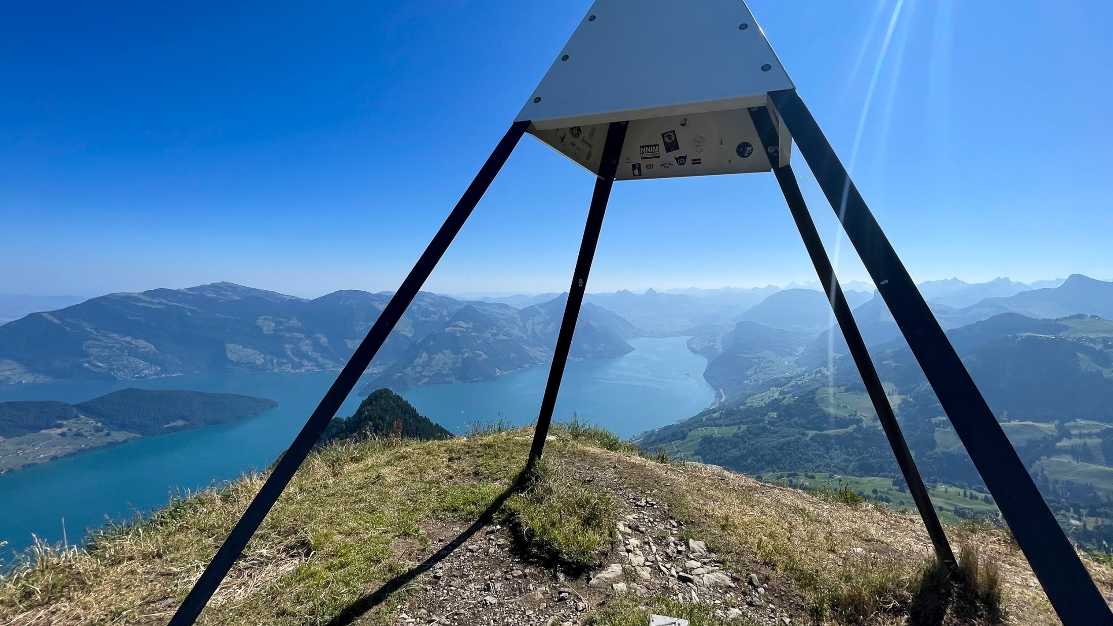
A very nice hike & fly, right at the entrance to the Engelberg valley. From the summit you have a breathtaking view of central Switzerland. Starting with SW wind is also suitable for hike & fly beginners.
Getting to the valley station of the Dallenwil-Niederrickenbach cable car. From Lucerne it takes about 20 minutes by car and about 35 minutes by train. From Zurich it takes about 1 hour by car or 1 hour and 50 minutes by train.
Ascent
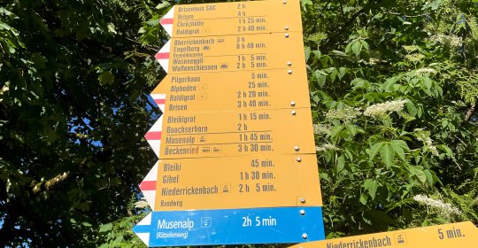
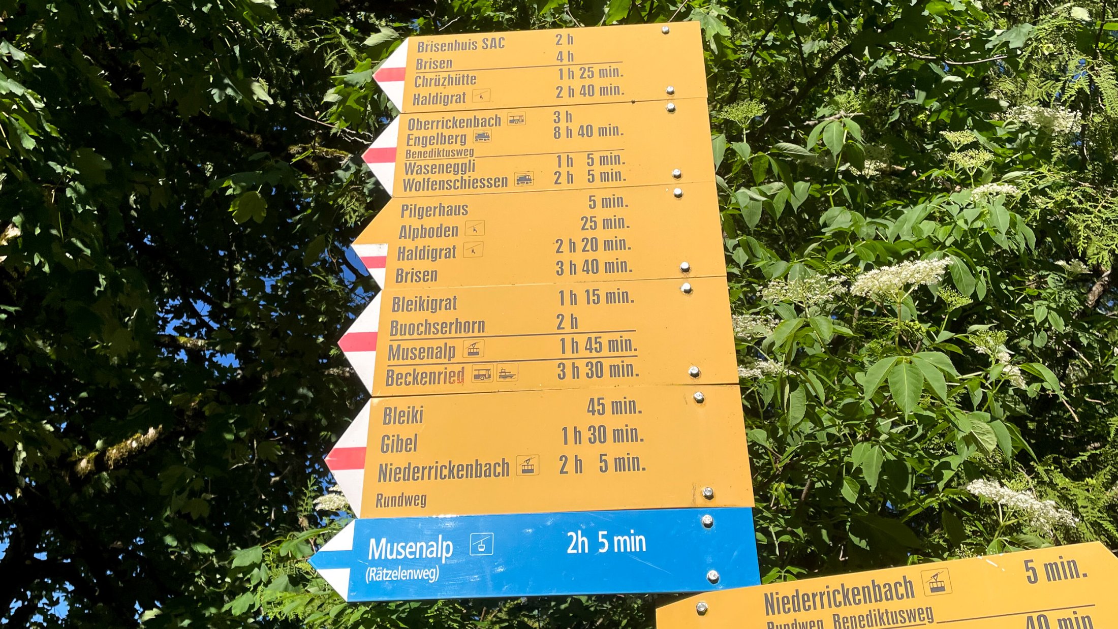
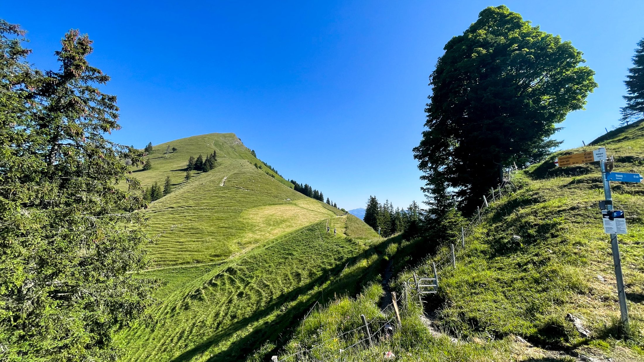
The ascent is 640 meters. According to the signpost, the hike takes about two hours. Fast hikers can manage it in under an hour. Alternatively, you can start from the very bottom, then it is 1330 meters and the hike takes about two to three hours. Easy hike.
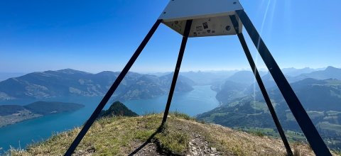
Takeoff and flight
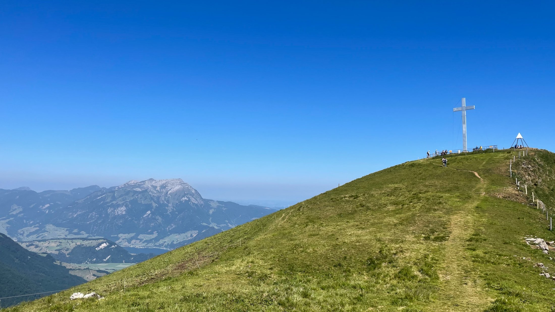
You can take off directly from the summit (summit cross). Take off towards the SW. It is a large and easy take-off point. Other directions are not recommended. The Engelberg Valley is known for its many cables and hay ropes. It is therefore advisable to fly out towards the SW. Thermal flights are very possible.
Landing
The official landing site in Büren is closed! But there are other landing sites nearby, for example in Wolfenschiessen. Landing right next to the train tracks is not recommended, as the valley wind and the trees can cause turbulence. Watch out for cables!
Weather and Airspace
The Buochserhorn is at an altitude of 1800 meters. The best wind for the flight is a light southwest wind. Other wind directions are less suitable. Note that the Buochserhorn is right next to Buochs Airport. Pay attention to the applicable flight rules (DABS) and check the gliding map so as not to violate the airspace.
Gallery
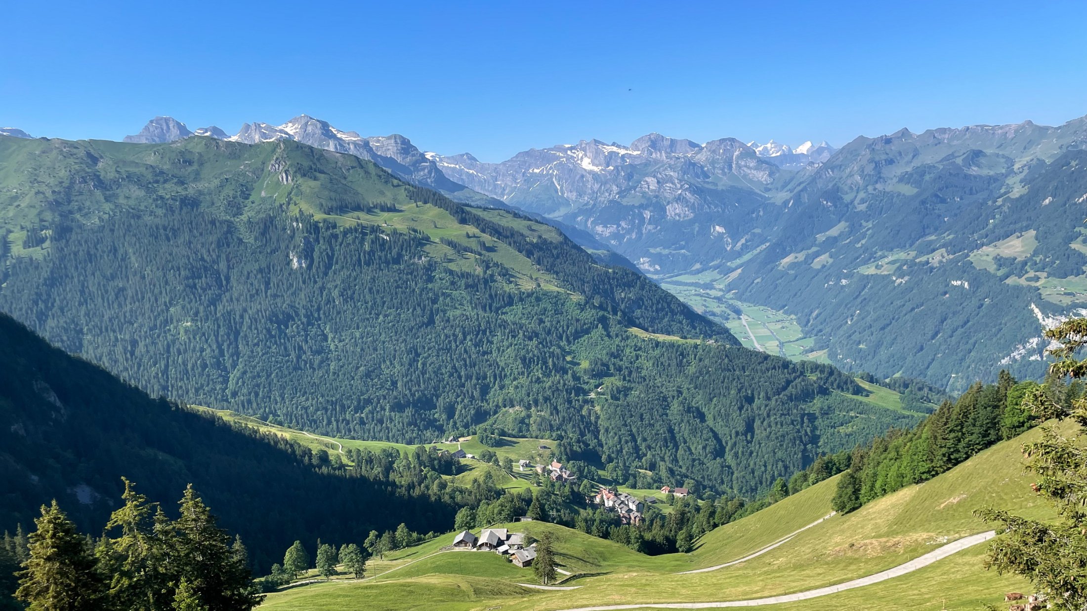
Ausgangspunkt in Niederrickenbach. 2 Stunden für gemütliche Wanderer.
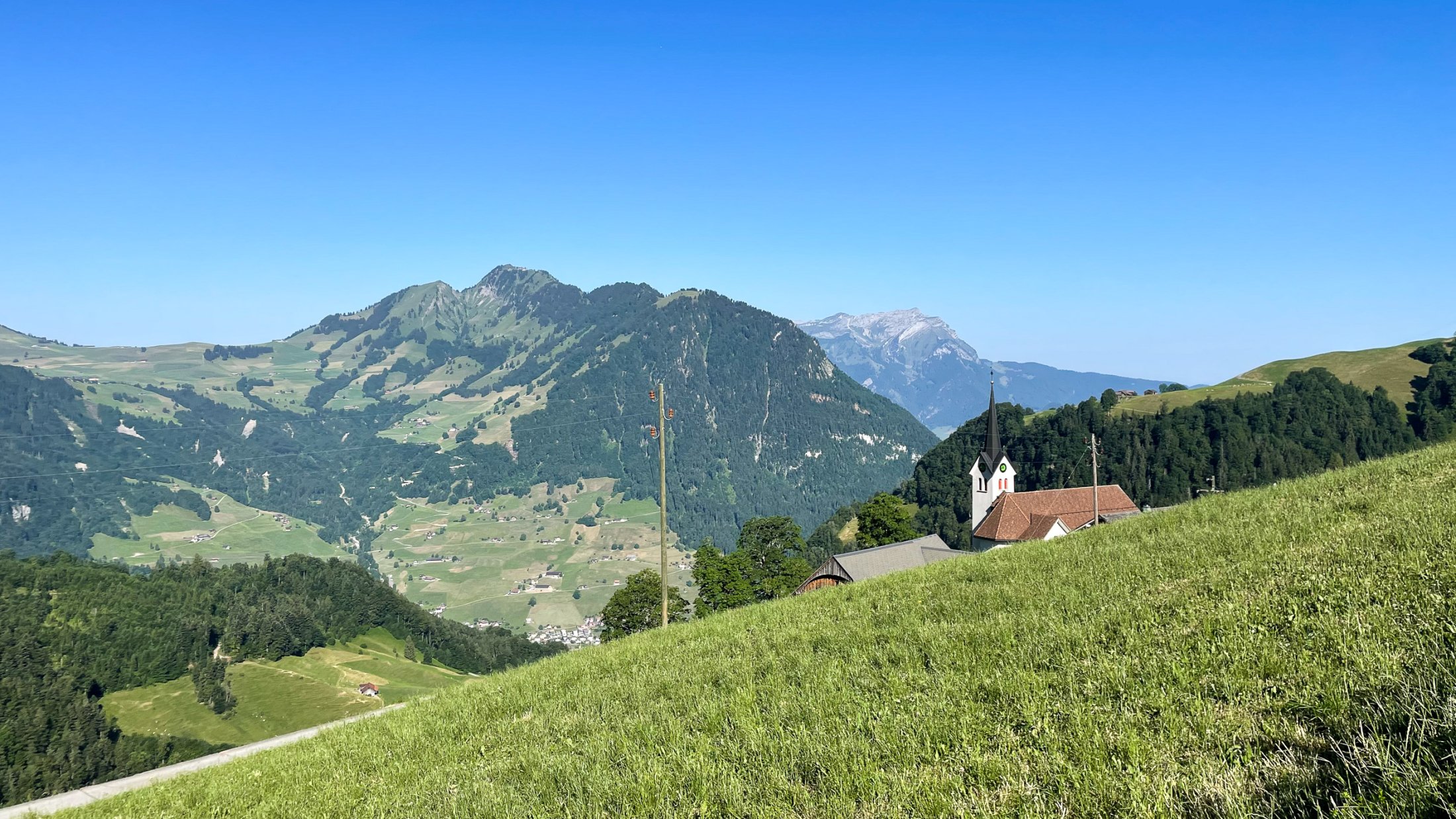
Über saftige Alpwiesen, das Zentralschweizer Panorama im Blick.