Imposing summit with magnificent views over the glaciers and the Tödi massif. With almost 1000m altitude difference the 2971 meters high mountain is an easy to do even for less sporty candidates.
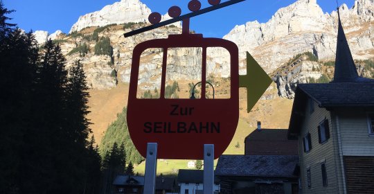
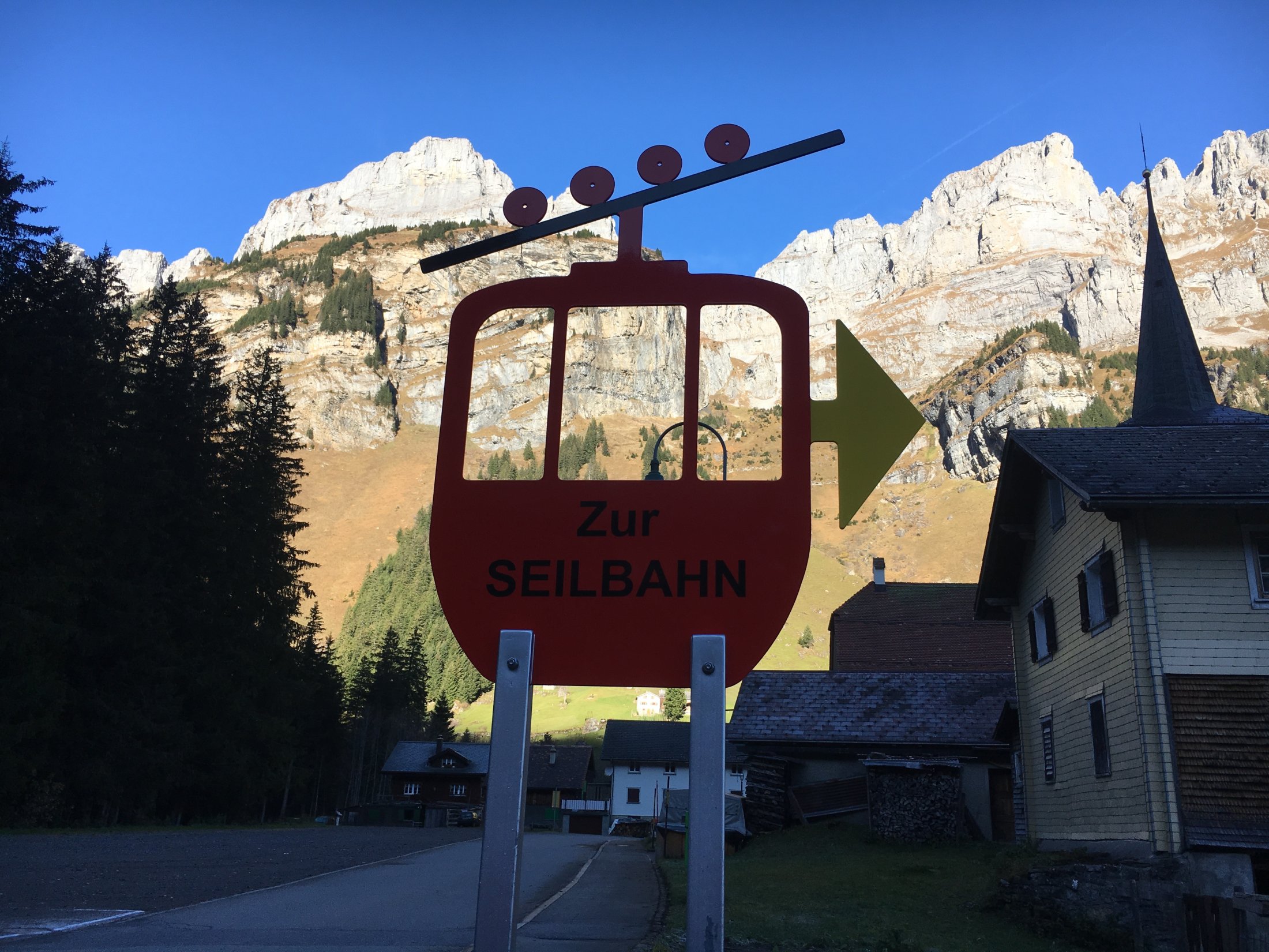
APPROACH
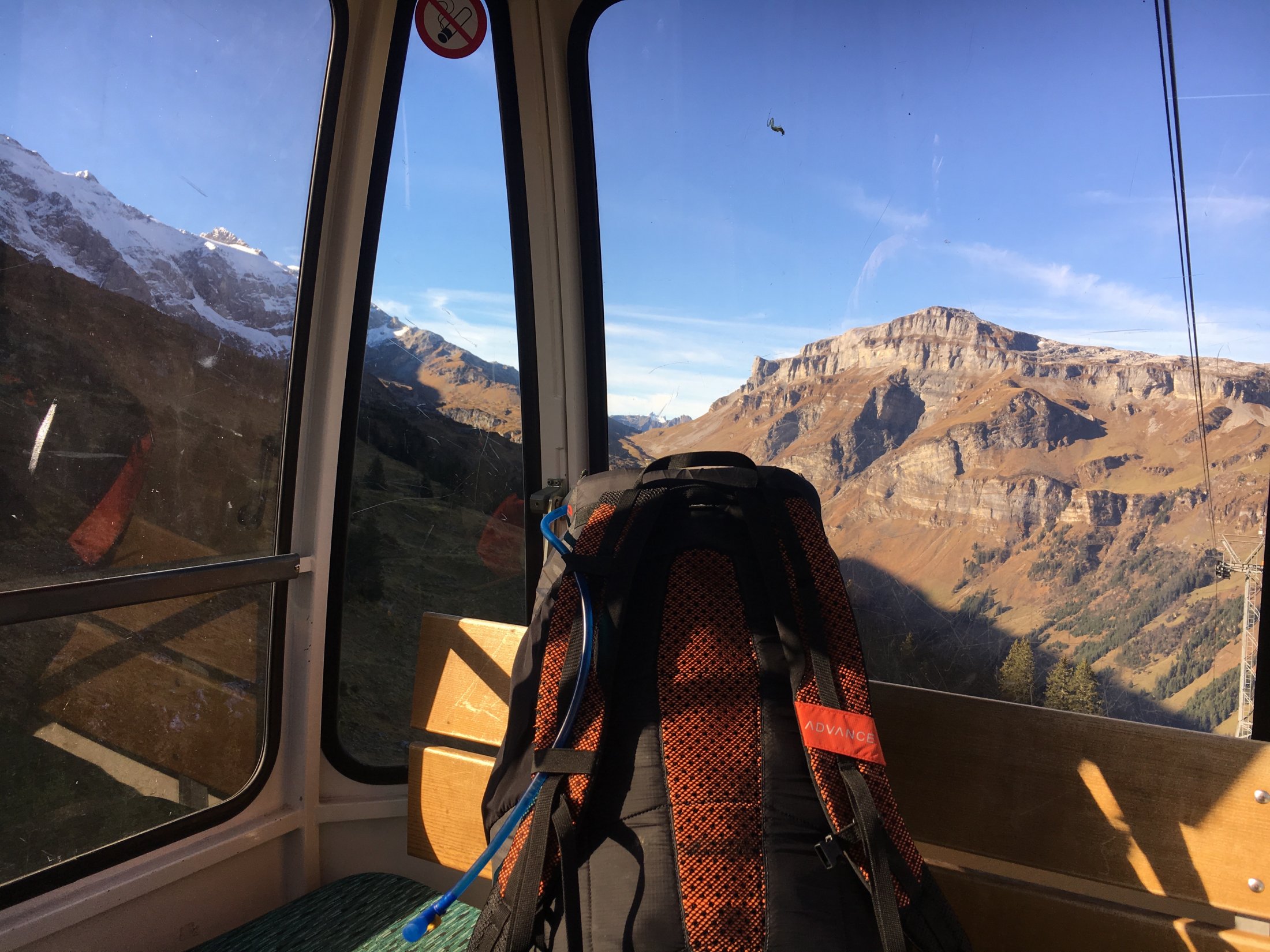
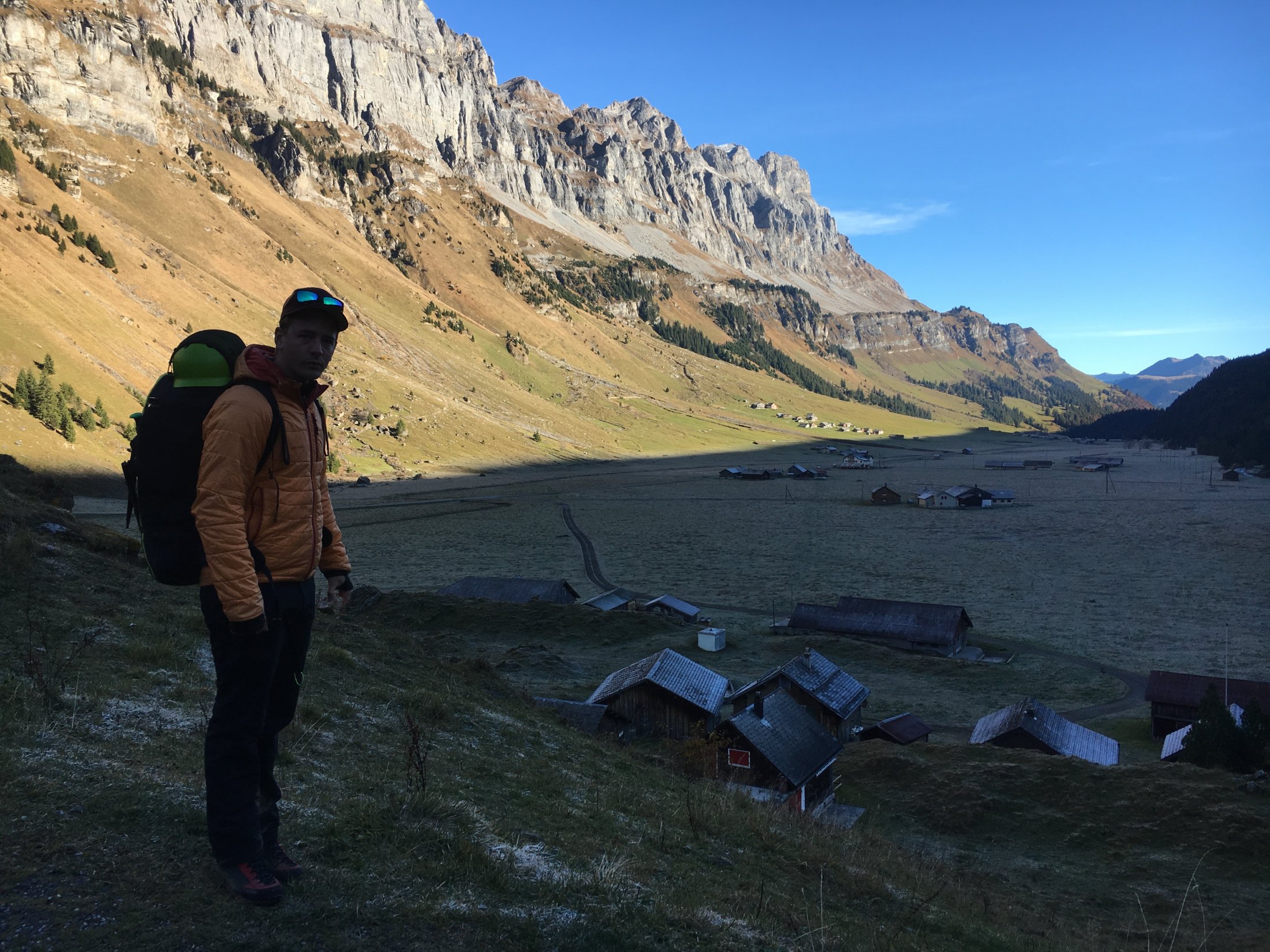
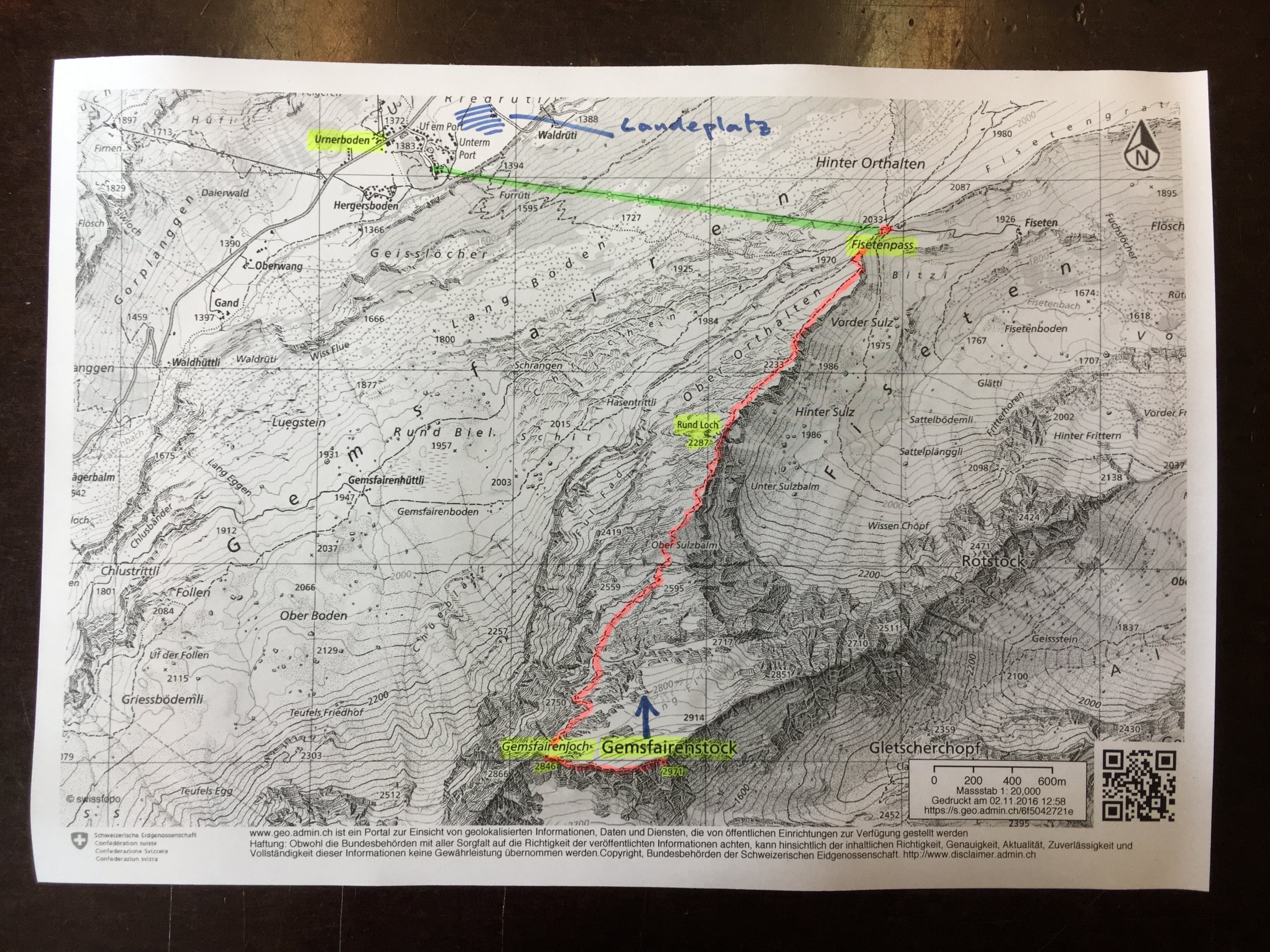
Driving from Zurich, you can reach the village of Urnerboden in 1h30min. With public transport it takes 2h20min. The comfy 6 seater gondola takes you in few minutes to the Fisetengrat at 2033m.
HIKE
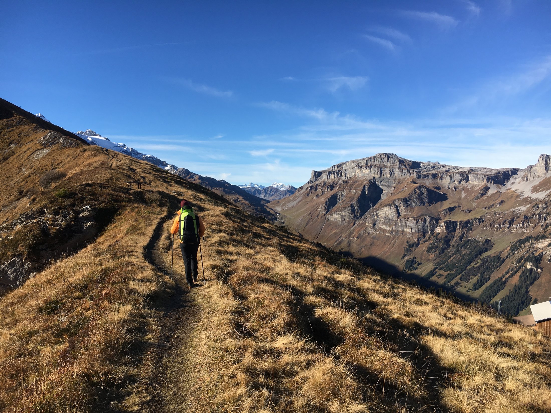
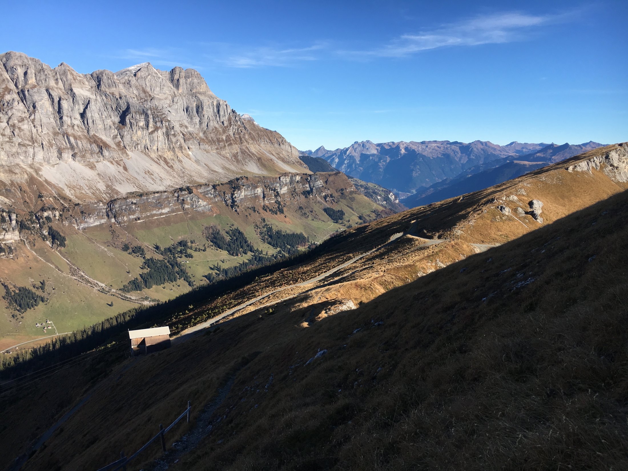
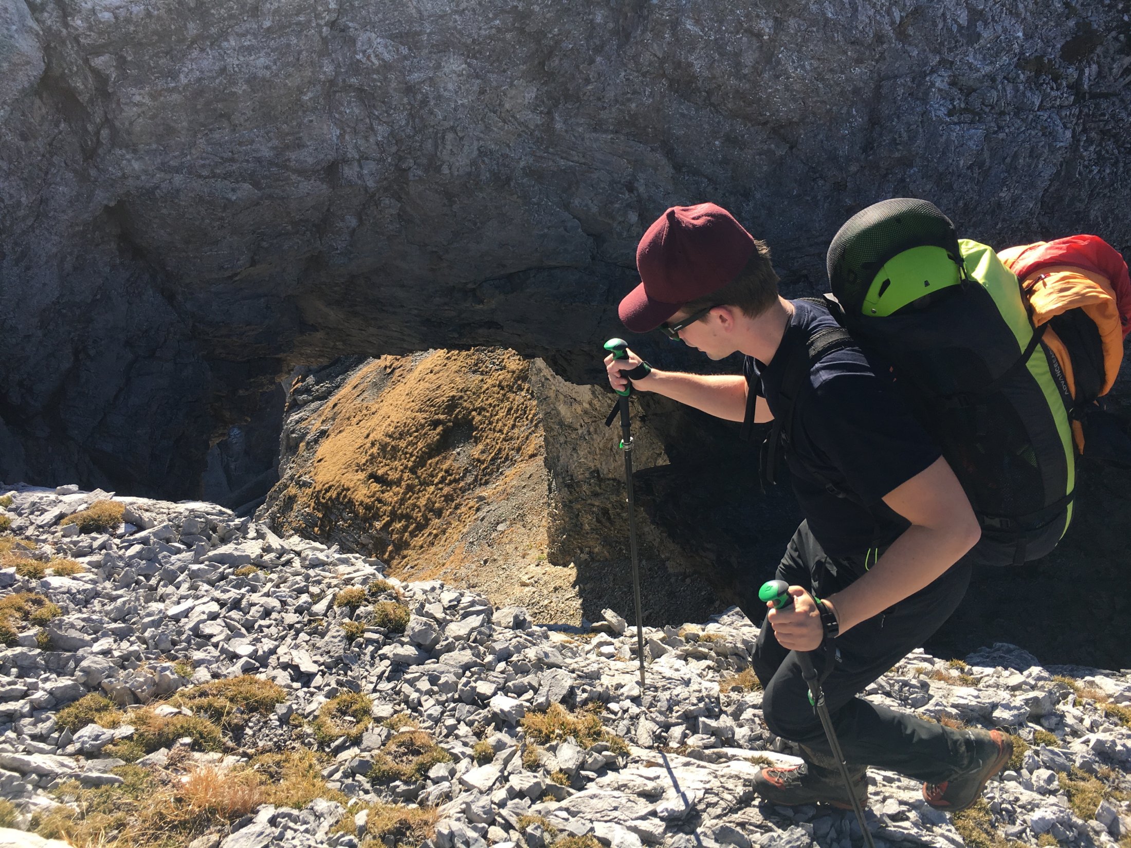
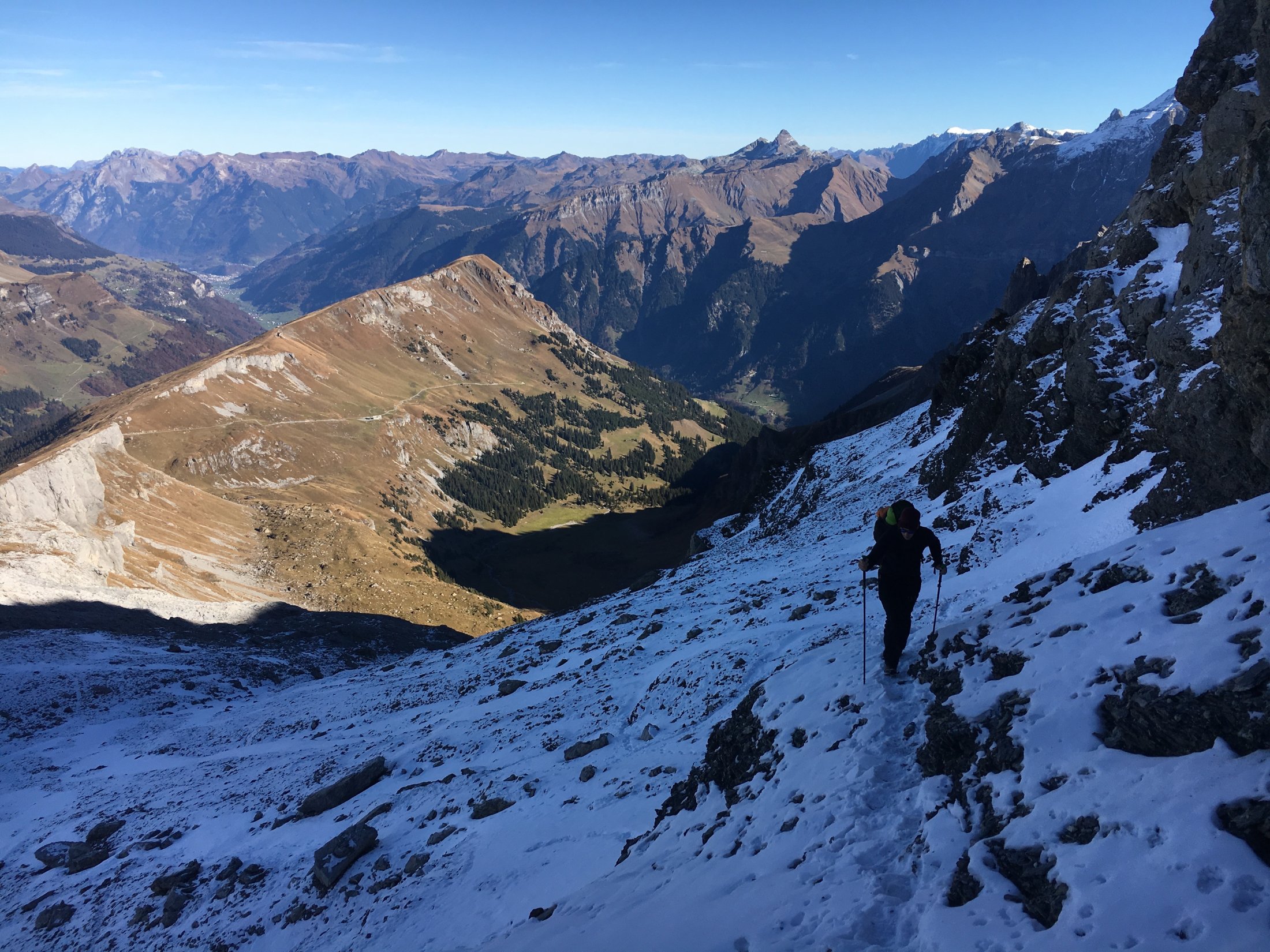
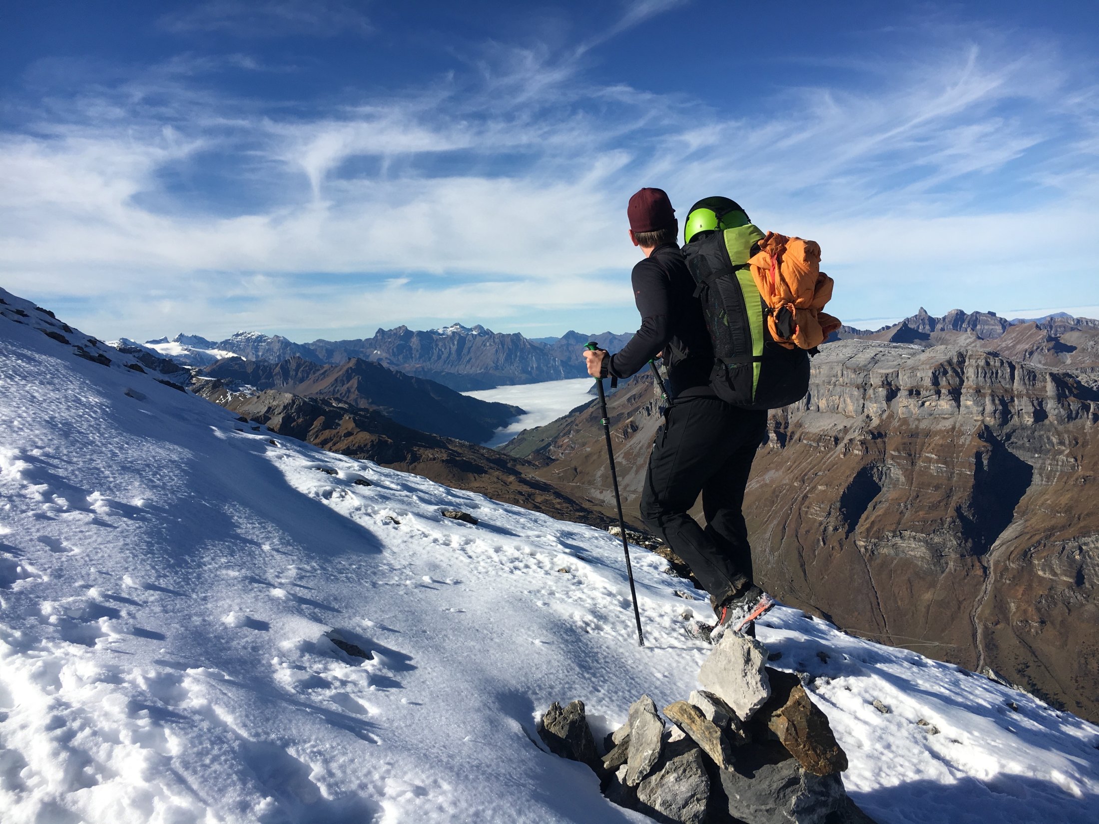
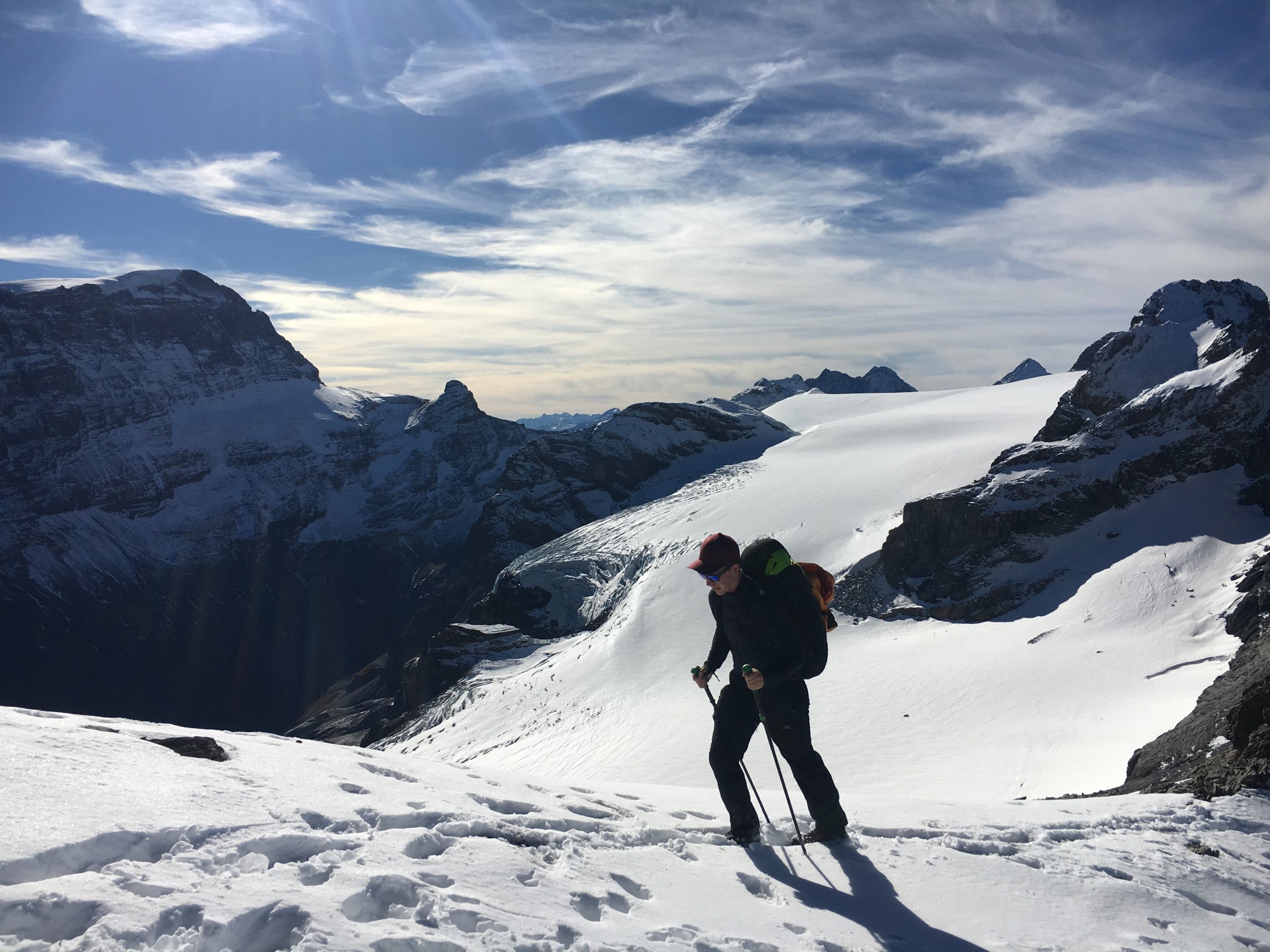
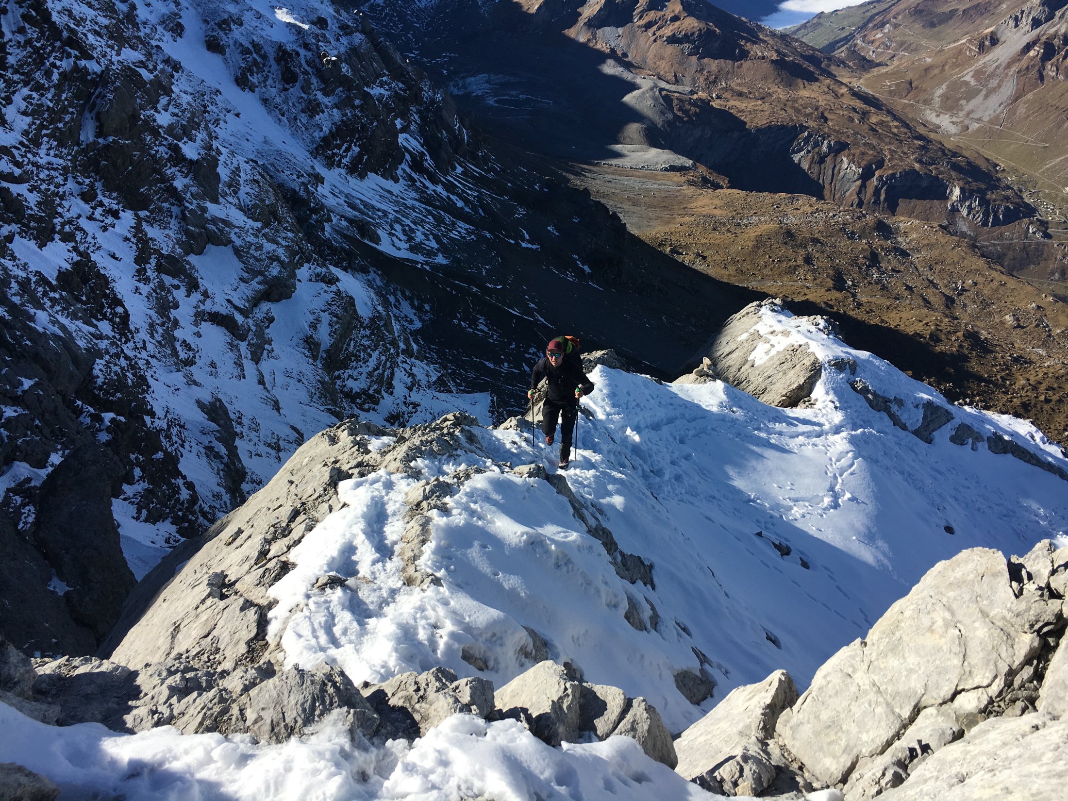
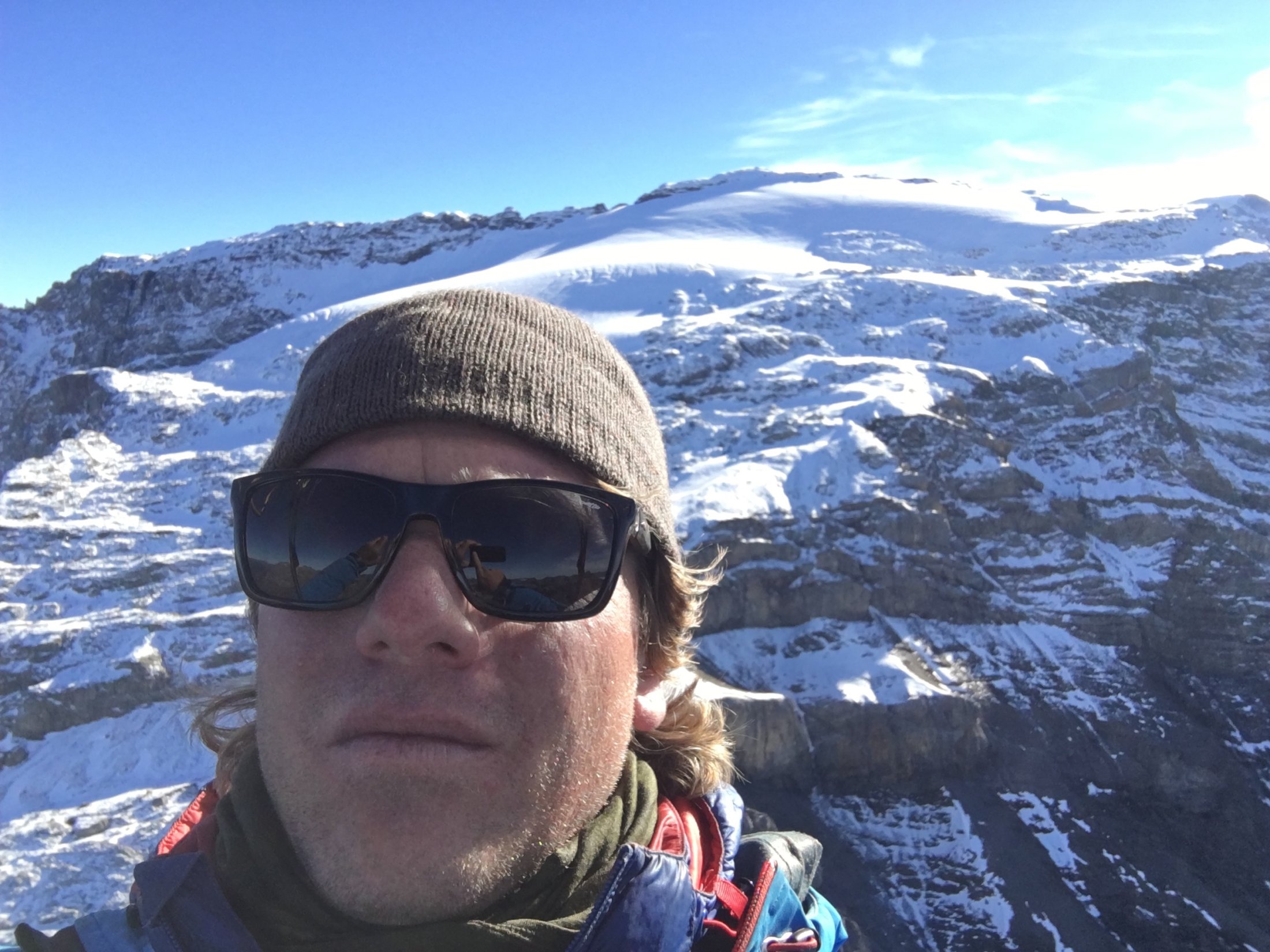
After getting out of the cable car you take few steps and walk up to the Fisetengrat. From there you follow a nice trail towards west. Already after app. 300m a little - hard to see - path goes to the left, up along a fence till the ridge. Don’t miss it! Up here the path is easier to see and you follow the ridge along the meadows and boulders. Almost all the way to the summit is well marked with stone piles. Past the "round hole", halfway to the Gemsfairenjoch (2846m), the subsoil of meadows changes to snowfields and boulders. Some of the snowfields were slightly icy and shortly before the Gemsfairenjoch, the trail is again quite steep and exposed. Good footwear and solid steps are a must. Once you arrive at the Gemsfairenjoch, go along the summit to the east. The views of Claridenfirn and Tödi are admirable. At normal speed we needed 2h 15min to the starting place.
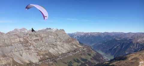
TAKEOFF
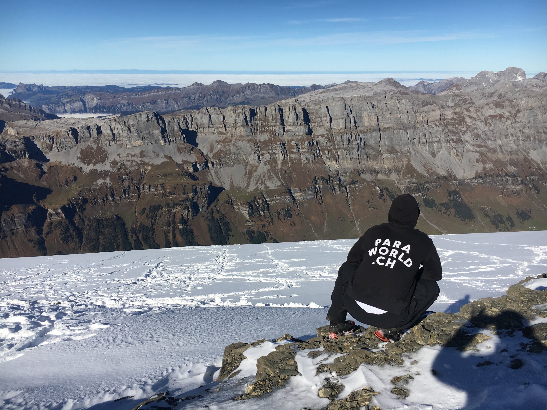
The starting place is about 200m before the summit on the large snowy field below the ridge. The takeoff is huge and perfectly aligned to the north and has a pleasant inclination. The start is easy with zero wind or wind from the north.
FLY / LANDING
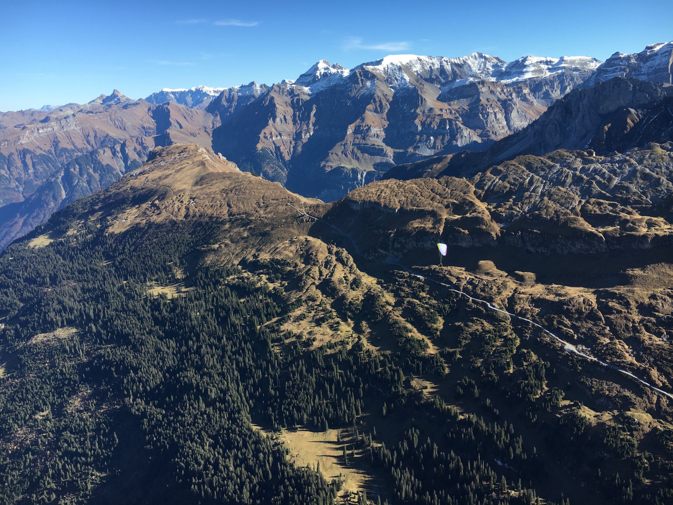
If you came by car, you will find lots of free fields below the cable car station of Urnerboden. Pilots who arrived by public transport can easily fly down to the main valley of Glarnerland and land there in Linthal or on the landing site of Braunwald (in Rüti, Gl). Thermal seekers: If you are up to cross the Urnerboden and fly to the opposing south flanks, don’t forget to take a quick look on the cables in the morning which rise from the Urnerboden valley up to the southern flank. Cables Aerial view map
WEATHER / AIRSPACES ETC.
As always, proper weather and map studies are indispensable, as well as a Plan B under adverse conditions. The DABS, of course, is also part of it.